Today my instructor and I flew a cross country to Waterbury Oxford OXC via Carmel VOR CMK. The weather cooperated beautifully.Winds aloft were about 15-20kts from the west. I wrote up my flight plan and began writing the times down as we took off.
After departing Caldwell we requested permission to change frequency and contacted NY approach. We then asked for flight following to Waterbury at 3,500ft. We then tracked Carmel VOR to then from to get to the field. Waterbury airport is in a seemingly quite area with some large homes surrounding it. When we were 10mi out we contacted the tower and were given a Left downwind to runway 18. Given our approach from the west we requested a Right downwind for 18 and were granted. The landing was pretty good. The final approach was a bit high but I corrected for it and came down for a fairly common non-eventful landing.

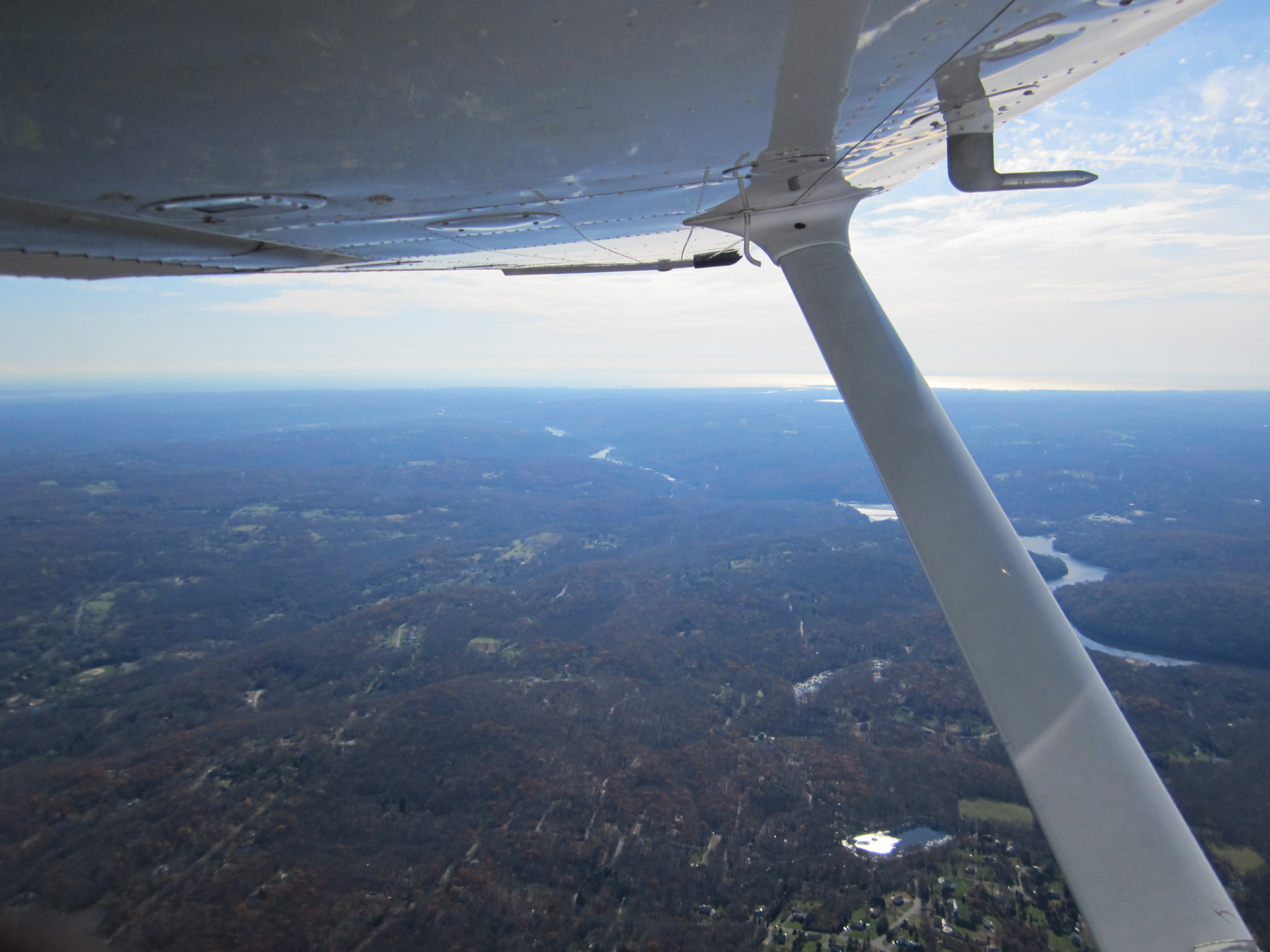
We taxied back and departed to the west to head back to Caldwell at 4,500. Or at least that is what I thought, my instructor had other things planned. After crossing the Hudson he instructed me to maintain a north west heading. This took us over the higher terrain of Harriman Park area. It was the first time I noticed turbulence from the drafts over the mountains. He then instructed me to find and land at Warwick Airport N72. I had been to an EAA fly in at this airport before so I was familiar with the layout. After some searching I found the pond that is right next to it. The problem with that pond is that the runway runs directly into it. Compared to Caldwell this runway is tiny, 2100’x28′ with a water hazard immediately at the end of the threshold. So with some coaching from my instructor we made a nice short field landing. We had to back taxi on the runway and immediately departed back to Caldwell. It was a great day for flying and I was happy with my performance overall.